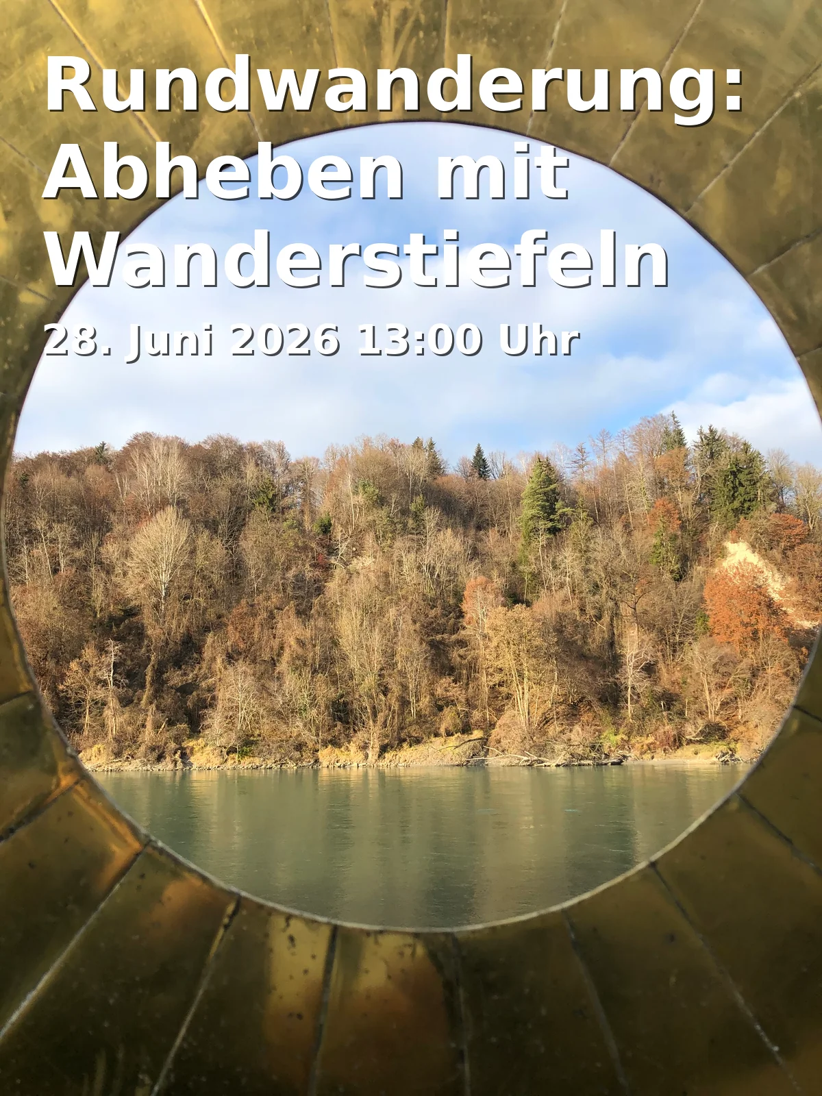
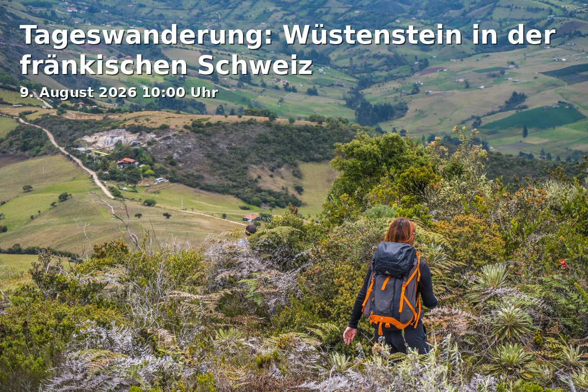
Day Hike Wüstenstein: Bayreuth's Nature at its Quietest Side
Date and Time
Location
Price
About this Event
Mood
Venue Type
With the Day Hike through the Quiet Heart of the Franconian Switzerland
This day hike leads into a landscape that captivates with its quiet valleys, lonely heights, and distinctive rocks. Around Wüstenstein, the Aufseß Valley opens up with one of the most charming hiking areas in Upper Franconia: natural paths, open heights, and impressive views shape the discovery experience. The tour caters to hiking enthusiasts who wish to combine local history, cultural heritage, and original nature in a guided city and regional experience.
On the Way between Valley and Jura Plateau
The route connects the stations Wüstenstein, Hochstahl, Steingraben, Fuchslöcher, and Polsterhöhe into a varied day tour. Sources from the region describe the section around Wüstenstein as particularly intense in landscape: the Aufseß Valley is considered a peaceful hiking backdrop with meadows, paths, and agricultural roads, while the surrounding area is shaped by distinctive rock formations, caves, and viewpoints. Especially the combination of valley space and Jura heights makes this hike a cultural enrichment for active guests. ([planetoutdoor.de](https://planetoutdoor.de/touren/wandern/wandern-fraenkische-schweiz-steingraben-fuchsloecher-und-polsterhoehle?utm_source=openai))
Geology, Caves, and Quiet Nature Images
The Franconian Switzerland is one of the oldest vacation regions in Germany and is famous for its castles, caves, and romantic valleys. This natural and cultural heritage can be felt here at every step. Near the route are well-known natural experiences such as Fuchslöcher, Polsterhöhle, and other cave sections that give the landscape its distinctive character. Hiking portals describe the area around Wüstenstein as moderate and easily accessible, with direct access from the hiking parking lot in the valley. ([bayreuth-tourismus.de](https://www.bayreuth-tourismus.de/entdecken/noch-mehr-bayreuth/bayreuth-fuer-aktive/wandern/?utm_source=openai))
Historical Context and Regional Character
Wüstenstein and the Aufseß Valley stand for a region where nature and history are closely intertwined. The valley between Wüstenstein and Doos is according to regional sources only accessible by a few roads and is therefore particularly original. The surroundings with Hochstahl, Siegritzberg, and the neighboring heights also convey an impressive picture of Franconian Switzerland as a hiking and cultural area. Those who are on their way here experience not only movement in the fresh air but also a piece of Franconian landscape history to touch. ([de.wikipedia.org](https://de.wikipedia.org/wiki/Siegritzberg?utm_source=openai))
Practical Tips for the Hike
The tour starts on August 9, 2026, at 10:00 AM. For hikes in the Wüstenstein area, regional sources name the hiking parking lot in the Aufseß Valley as the starting point; this is where the access for pedestrians and individual travelers is easiest. In wet weather, some sections may be muddy, so sturdy shoes and weatherproof clothing are advisable. For a day hike, it is also recommended to bring enough drinking water, sun protection, and a small snack. ([diewanderer.pro](https://diewanderer.pro/wuestenstein-aufsess-heiligenstadt-veilbronn/?utm_source=openai))
At the end, visitors can expect an earthy, authentic hike through one of the most beautiful landscapes around Bayreuth. Those who want to experience Franconian Switzerland with all their senses should secure this date and plan the tour in advance. ([bayreuth-tourismus.de](https://www.bayreuth-tourismus.de/entdecken/noch-mehr-bayreuth/bayreuth-fuer-aktive/wandern/?utm_source=openai))
Official Channels of Bayreuth Region:
- Instagram: no official profile found
- Facebook: https://www.facebook.com/people/Bayreuth-Regionde/61567235791533/
- YouTube: no official profile found
- TikTok: no official profile found